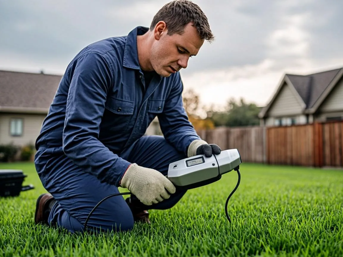
Nobody in Beverly keeps an accurate drawing of where their building sewer runs. Houses built in the 1920s through the 1960s changed hands dozens of times, additions went up, and whatever map existed went into a drawer decades ago. The old method for finding a buried lateral was an educated guess and a shovel. The modern method is electronics: a camera that broadcasts a radio signal from underground, and a receiver that walks the surface above it, reading out depth and direction as it goes. No hole gets dug, and the pipe gets mapped within centimeters.
The Tool: A Tiny Radio Beacon Inside the Camera Head
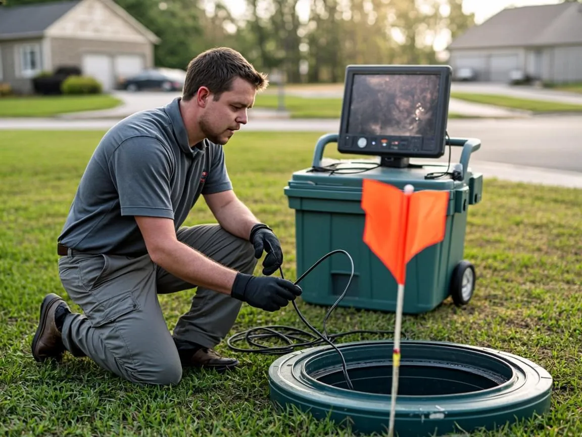
The process starts with a standard sewer camera — a fiber-optic push camera on a flexible rod that travels the pipe from the cleanout toward the street. The critical component is in the camera head: a sonde, a self-contained radio transmitter a few centimeters long that emits a continuous low-frequency signal, most commonly around 512 Hz. That frequency matters. It is low enough to penetrate soil, pavement, and stone without being absorbed, and distinctive enough that the receiver can tell it apart from power lines, rebar, and other clutter buried in a New England yard.
As the camera advances, the sonde rides along inside the pipe like a beacon moving through a tunnel. The camera does the seeing; the sonde does the being-found. The two together answer every question a map needs to answer: where the pipe goes, how deep it is at any point, and where every bend and fitting hides.
How the Ground Receiver Turns Signal Into Depth and Direction
Above ground, the technician sweeps a matching receiver wand back and forth across the lawn. The receiver does not just detect the signal — it measures its geometry. Peak signal strength marks the pipe's horizontal position; the shape of the field around that peak yields the depth directly on the display. Modern units read depth to within a few centimeters and can distinguish the true signal from "ghost" reflections that would send an inexperienced operator ten feet off course.
The technician walks the route in short steps, painting a dot on the surface at every move, until the sonde reaches the city tap or the far end of the run. What is left behind is a painted line across the property that traces the pipe's exact path, with chalked depth numbers at intervals along it. Where the camera finds a break, a belly, or a junction, that spot gets flagged — the beginnings of a damage map.
Why Beverly Yards Make This Technology Essential
Beverly's housing stock makes guessing expensive. Rye, Cove, and Prospect Hill neighborhoods were built out in eras when laterals were run at whatever angle the mason chose, and city records show the tap location only, not the route between house and main. Lateral depths here range from barely two feet under a shallow front lawn to more than six feet where a street grade was reworked over the decades. Digging a three-foot-wide exploratory trench across a yard of glacial till and mature tree roots costs thousands before the actual repair even starts. A locating visit costs a few hundred dollars and leaves the hostas standing.
When a Locate Pays for Itself
- Before any ground-breaking project. Patios, pool installations, garage slabs, deck footings, and fence posts all land in the unknown zone. Locating first prevents the catastrophic strike described in our guide to mapping pipes before landscaping.
- When buying or selling. A located, scoped, and documented lateral is a negotiating asset at closing, not just a file — see our breakdown of reading a scope report.
- When planning a trenchless repair. Lining and pipe bursting both need accurate depth and layout data before the crew mobilizes. The locate is where every repair quote gets its footing.
- After repeated backups with no diagnosis. If the line has never been mapped, the locate is step one of finding out why.
What You Receive From a Mapping Visit
A professional locate ends with three deliverables: the painted mark-out on the ground, a depth log recorded at regular intervals along the run, and the camera footage with sonde position keyed to the video. If the camera found damage, the footage is marked at the exact station distances so a repair crew can find the defect from the surface without re-searching. Our main line video locating and mapping service bundles all three into one visit, and the resulting map feeds directly into trenchless spot repair or full replacement planning if the footage calls for it. The whole exercise leaves your yard exactly as it found it — which is the point.
Quick Answers
How accurate is electronic sewer line locating?
A sonde transmitter paired with a calibrated surface receiver places the pipe within a few centimeters of its true position and reports depth directly. The margin of error only grows when rebar, reinforced concrete, or heavy vehicle traffic distorts the signal.
Can a sewer line be located without a cleanout access?
Usually yes. A sonde can be fed from a pulled toilet, a roof vent, or an indoor fixture opening when no exterior cleanout exists. If none of those access points work, we locate from the city tap side using the public record as a starting point.
How much does it cost to locate a sewer line in Beverly, MA?
Most locating and mapping visits in Essex County run between $250 and $500 depending on run length and access. The fee is typically credited toward any repair or lining project booked from the resulting map.
Want the Map Before Anyone Digs?
Camera-plus-sonde locating paints your sewer's path and depth in one visit — no shovel required. Flat-rate quotes, same-week scheduling.